
Remote Sensing for Hydrometeorological Monitoring (2012)
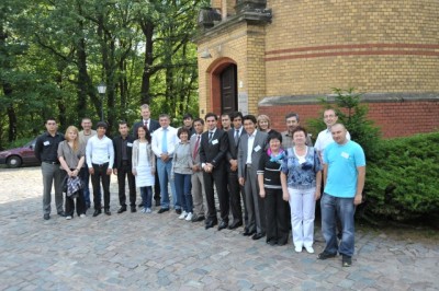
This course was already the second workshop on satellite remote sensing topics after the first successfully organized course in August 2011. The 5- day course was held in July 2012 in the framework of the CAWa initiative (Water for Central Asia), founded by the Foreign Office and was organized together with the German Research Centre for Geosciences (GFZ) in Potsdam. Main topic was the use of remote sensing data for hydrological issues. Altogether eighteen participants followed the invitation. For the first time, scientists from all 6 Central Asian countries visited a course in Germany: Kazakhstan, Uzbekistan, Turkmenistan, Kyrgyzstan, Tajikistan and Afghanistan.
During the intensive course, theoretical knowledge about satellite remote sensing was taught just as the practice oriented calculation of watersheds from SRTM data of spatial interpolation methods. As a guest lecturer, Mr. Abror Gafurov presented the calculation of snow cover masks for the Central Asian Mountains. All participants received a certificate at the end of the course. The GIS software package ArcGIS was used during the course.
It was led by Gunther Schorcht and Elisabeth Fliemann (both University of Wuerzburg). Stephan Duckert and Katy Unger-Shayesteh (both GFZ Potsdam) were responsible for the organization of the course.
Outline of the course
Day 1:
- Theoretical background of satellite remote sensing
- Background to the CAWa project in Central Asia
- Practical introduction to ArcGIS
- Data download and visualization in ArcGIS
Day 2:
- Data download, visualization of SRTM digital elevation data for Central Asia
- Using ArcGIS tools for raster data
- Calculation of watersheds and river flows for selected areas in the Central Asian mountains
Day 3:
- Calculation of daily snow cover masks over Central Asia
- Assessing the yearly water availability for watersheds
Day 4:
- Vector data in ArcGIS
- Spatial interpolation of point based data for hydrological issues
- Creating maps in ArcGIS
Day 5:
- Repetition of the course
- Independent project of the participants
- Presentation of the results
- Handing out certificates
Teaching material is available on request.

