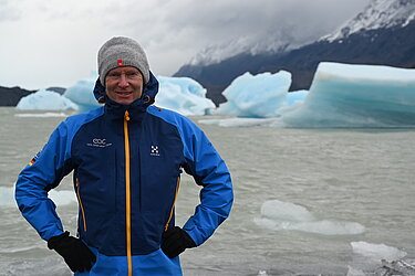
Univ.-Prof. Dr. Stefan Dech

Head of the
Department of Remote Sensing
in cooperation with the German Aerospace Center
basics, methods, systems, environmental monitoring,
terrestrial ecosystems, crisis information systems
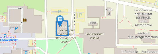
John Skilton str. 4a
97074 Wuerzburg
Germany
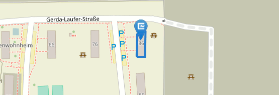
c/o German Aerospace Center (DLR)
German Remote Sensing Data Center Oberpfaffenhofen
82234 Wessling, Germany
![]() +49 (0)8153 28-1389
+49 (0)8153 28-1389
![]() +49 (0)8153 28-3444
+49 (0)8153 28-3444
A) Remote Sensing Methods
- Derivation of geo- and biophysical parameters from remote sensing data for environmental applications, ecosystem analyses, sustainable resource management and climate research
- Time series analysis of geo- and biophysical parameters for change detection and classification purposes in terrestrial ecosystems
- Land use and land cover classification techniques
- Derivation of parameters for hazard and risk modelling in megacities based on optical very high resolution data
- Development of decision support and early warning systems for natural disasters
B) Geographic Topics
- Design of an information management system in the Mekong-Delta, Vietnam (BMBF project)
- Design of a tsunami early warning system in Indonesia (BMBF project)
- Mapping of impervious surfaces in Germany (BMBF project)
- Remote Sensing for biodiversity research (BMBF project)
- Quantification of desertification processes in semiarid regions (Aral Sea, South of Spain) (BMBF and EU projects)
- Sea and pack ice dynamics in the Arctic and Antarctic with optical data and radar interferometry (DLR programmatic focus)
- Mapping of abandoned armament sites in the new federal states of Germany (DLR programmatic focus
C) Public Understanding of Science
- Techniques of scientific data visualisation
- Computer animation methods
2004
Research visit at University of California, Scripps Institution of Oceanography, San Diego, USA
since 2001
Professor for Remote Sensing at the Institute of Geography, University of Wuerzburg
since 1998
Director of the German Remote Sensing Data Center at DLR
(until 2001 as joint leadership)
1998 - 2001
Private lecturer at the Institute of Geography, University of Wuerzburg
1995 - 1998
Director of the Department "Remote Sensing Applications" at the German Remote Sensing Data Center (DLR)
1997
Postdoctoral lecture qualification (Dr. rer. nat. habil.) at University of Wuerzburg
1989 - 1995
Researcher and head of the working group „Value Adding and Visualisation“ at the German Remote Sensing Data Center (DLR)
1990
Promotion (Dr. rer. nat.) at University of Wuerzburg
1987 - 1989
Doctoral scholarship at the German Institute for Air and Space Research (DFVLR)
1987
Diploma in Geography at University of Wuerzburg
1980
School leaving exam
The endowed Chair for Remote Sensing at Wuerzburg University was established in 2001 in cooperation with the German Aerospace Center (DLR). The chairholder is director of DLR's German Remote sensing Data Center (DFD), a leading institution in Europe in the field of earth observation and remote sensing. With more than 50 projects DFD is involved in German, European and worldwide research and operating infrastructure. Most important research partners are the organisations of the Helmholtz Association in Germany, several universities, the German Ministry of Education and Research, the European Union, the European Space Agency, and NASA.
- Faculty at Department of Geography, University of Wuerzburg
- Member of the examination Committee for Ph.D. and Habilitation
- Member of theGraduate School GSST „Graduate School of Science and Technology“
- Science and TechnologyMember of theGraduate SchoolMICMoR „Mechanisms and Interactions of Climate Change in Mountain Regions“


