Deutsch Intern
Earth Observation Research Cluster

Studies

What is Remote Sensing?

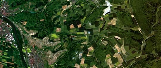
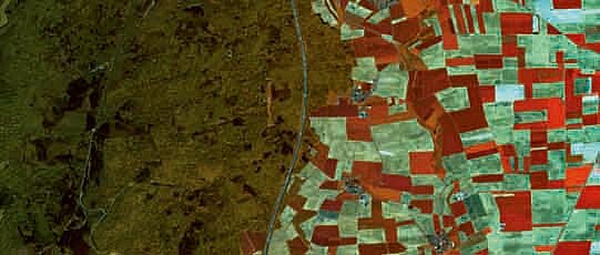
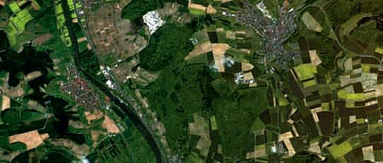
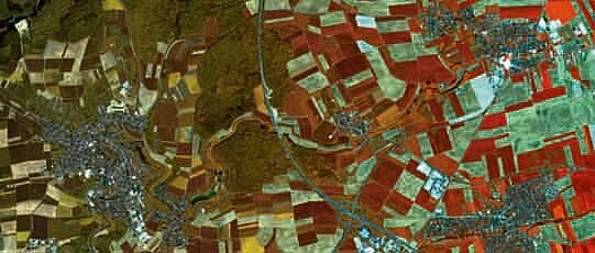
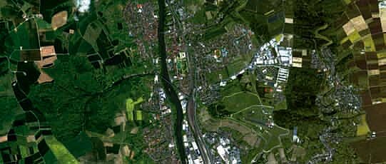
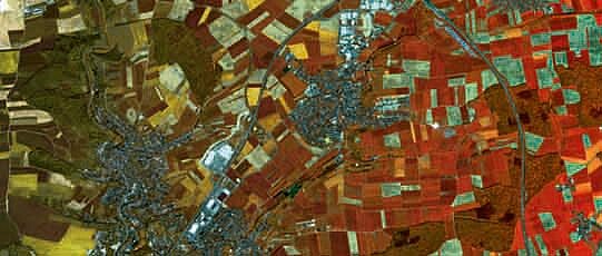
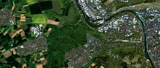
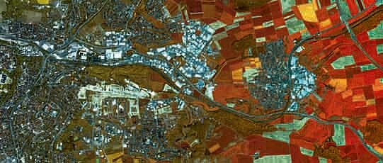
Remote Sensing is a methodology for evaluating data on the nature of the Earth's surface. It provides us with valuable and important information which is already shaping the economy, politics, culture and environmental sciences. Remote sensing thus has a high potential for the future as an information technology.
[more]

Fields of Application

Remote-sensing has practical applications wherever spatial data is required. As a result, it reveals useful in a variety of fileds. Besides "typically geographic" fields of work, Remote Sensing extends to other areas such as ecology and biodiversity revealing itself as a versatile tool. [more]

Proposed Topics for Bachelor Theses

Here you will find some suggestions for bachelor theses. The staff of the Remote Sensing Chair are always open to their own ideas. Just contact us.
[more]

Bachelor Theses

Here you will find a list of current and completed Bachelor theses which are and have been supervised by the Remote Sensing Chair.
[more]

Proposed Topics for Master Theses

Here you will find some suggestions for master theses. The staff of the Chair of Remote Sensing are always open to their own ideas. Just contact us.
[more]

Master Theses

Here you will find a list of current and completed Master theses which are and have been supervised by the Remote Sensing Chair.
[more]

Completed Diploma Theses

in the diploma course of studies "Geography", University of Würzburg.
[more]

Further Theses

of study courses at the University of Würzburg and other universities.
[more]