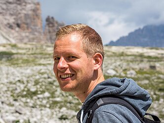
Sebastian Buchelt, M.Sc.

Department of Remote Sensing
![]() +49 (0)931 31-87546
+49 (0)931 31-87546
![]() +49 (0)931 31-85544
+49 (0)931 31-85544
sebastian.buchelt@uni-wuerzburg.de
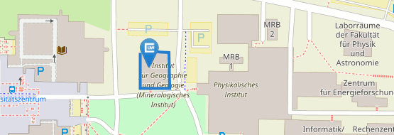
Institute for Geography und Geology
Department for Remote Sensing
John Skilton Str. 4a
97074 Würzburg
Potential of SAR time series for mapping and monitoring of small-scale periglacial processes in alpine environments (Arbeitstitel)
Mentoren: apl. Prof. Dr. Christof Kneisel, Prof. Dr. habil. Claudia Künzer, Prof. Dr.-Ing. Andreas Schmitt (Hochschule München)
since 07/2020
PhD student at the Department of Physical Geography & Remote Sensing, University of Wuerzburg
10/2017 – 06/2020
Studies of Applied Earth Observation and Geoanalysis of the Living Environment (EAGLE M.Sc.)
Master thesis: "Analysis of High-Resolution Spatio-Temporal Patterns of Snowmelt using Orthorectified Photo Cameras, Sentinel-1 Time Series and Digital Elevation Data"
08/2018 – 03/2020
Student research assistant at the Department of Remote Sensing, University of Wuerzburg
Topics: Field campaigns; Derivation of biophysical vegetation parameters from Landsat time series using OpenDataCube
03/2019 – 04/2019
Intern, Alfred-Wegener-Institut (AWI), Polar Meteorology, Bremerhaven, Germany
Topic: Comparison of different SAR-based classification methods for sea ice type identification
09/2018 – 12/2018
Intern, EURAC research, Institute for Earth Observation, Bozen/Bolzano, Italy
Topic: Comparison of different state-of-the-art-algorithms for snow cover detection in alpine regions using Landsat time series
09/2016 – 07/2017
Student research assistant at the Microwaves and Radar Institute (HR), German Aerospace Center (DLR), Oberpfaffenhofen, Germany
Topic: Polarimetric time series analysis of crop phenology with F-SAR and Radarsat-2 C-Band data
10/2013 – 12/2016
Studies of Geography and Experimental Physics (B.Sc), Ludwig-Maximilians-University of Munich
Thesis: "Use of LiDAR data for Identification of Roof Areas"
-
. (2024): Dynamics and internal structure of a rock glacier: Inferring relationships from the combined use of differential synthetic aperture radar interferometry, electrical resistivity tomography and ground-penetrating radar. In: Earth Surface Processes and Landforms, 49 (14), 4743-58.
-
. (2023): Identifying mountain permafrost degradation by repeating historical electrical resistivity tomography (ERT) measurements. In: The Cryosphere, 17 (7), 2919-40.
-
. (2023): Deciphering Small-Scale Seasonal Surface Dynamics of Rock Glaciers in the Central European Alps Using DInSAR Time Series. In: Remote Sensing, 15 (12)
-
. (2022): Comparing PlanetScope and Sentinel-2 Imagery for Mapping Mountain Pines in the Sarntal Alps, Italy. In: Remote Sensing, 14 (13), 3190.
-
. (2022): Sentinel-1 time series for mapping snow cover depletion and timing of snowmelt in Arctic periglacial environments: case study from Zackenberg and Kobbefjord, Greenland. In: The Cryosphere, 16 (2), 625-46.
-
. (2021): Trends in Satellite Earth Observation for Permafrost Related Analyses—A Review. In: Remote Sensing, 13 (6)
-
. (2025): SvalbardMonitoring – Potential of UAV-derived high-resolution snow depth mapping for arctic ecological research on Svalbard. In: SvalbardMonitoring Workshop by the Norwegian Institue for Nature Research (NINA), 20th to 23rd of October 2025
-
. (2025): Potential of UAV-derived high-resolution snow depth mapping to advance arctic ecological research on Svalbard. In: GfÖ Annual Meeting, 1st to 5th of September 2025


