
Developing capacity in the fields of GIS and remote sensing (2010)
The State University of Urgench (UrDU) in Uzbekistan organized a workshop in Geographic Information Systems (GIS) techniques and remote sensing methodology for university staff from August 24nd to September 3rd, 2010. The workshop, taking place in Urgench, was organized in cooperation with the ZEF/UNESCO Khorezm project based in Urgench and the University of Würzburg, Germany.
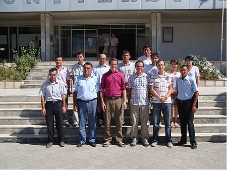
This so-called “training of the trainers” course was a kick-off event for enhancing the GIS and remote sensing knowledge of university staff - mainly from UrDU, but also from the Agrarian University in Tashkent. Among the 15 participants were geographers, social scientists, and economists. They will use their new knowledge to extend the current BSc. and MSc. programs at their universities and finally to establish a new center of competence for GIS and Remote Sensing in Uzbekistan.
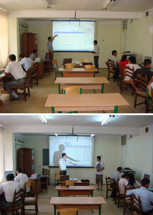
The intensive training course in Urgench focused on modern GIS techniques and remote sensing methodology and their application within ecology, economics and agricultural sciences. Two scientists affiliated with the ZEF/UNESCO project, Gunther Schorcht and Fabian Loew (both from the University of Wuerzburg in Germany), were teaching the 15 participants in using GIS software in combination with remotely sensed satellite data. There were theoretical lessons combined with practical exercises. A strong emphasis was put on the practical part, including an analysis of data collected by the ZEF/UNESCO project and the faculties of UrDU. The highlight of the workshop was a competition among teams in presenting a common project. The best project teams were awarded. All participants received a certificate.
The ZEF/UNESCO project in Urgench is a long-term scientific project which focuses on improving natural resource management in the region. This is being done in close cooperation with local partners such as UrDU. Developing regional and human capacity is a further major goal of the German-Uzbek project.
Find more information here.
Outline of the course
Day 1:
- Introduction to Geographical Information Systems (GIS)
- Basic elements of maps and vector data (slides)
- ArcGIS: introduction to the GUI, import of data, layer technique, attribute table, select elements in the AT (combination of table and object), Tools GUI
Day 2:
- ArcGIS: labeling (simple labeling, class labeling with SQL queries), symbology (simple), definition query
- Attribute table: Adding fields, calculations using the Field Calculator
- Editor: Start, Save & Stop Editing, Adding values to table fields
Day 3:
- Select by Location / Select by Attributes: diverse small exercises with different shapefiles
- Join: joining attribute tables, joining attribute tables with EXCEL files
- Classified symbology: Categories, Quantities
Day 4:
- Global Positioning System: Introduction, technical background (hand out)
- Field work: Collecting points in groups (lamps, fields, buildings, streets, tree stands)
- Data import into ArcGIS
- Working with the Editor
Day 5:
- Short introduction to raster data (SPOT image of the university, cadastre map) : loading, moving, zooming
- Digitalization
- Attribute table and statistics
- Classified symbology (repetition)
Day 6:
- Working with the Toolbox, Attribute table and Maps
Day 7:
- Principles of Remote Sensing, introduction to and interpretation of raster data
- Introduction to Digital Elevation Models (DEM)
Day 8:
- Georeferencing of maps
- Map layout
Day 9:
- small map project
Teaching material is available on request.

