Subproject 2: Social geography
")
MainPro research project - Social geography sub-project: Vulnerability analysis and adaptation strategies in urban land use planning practice
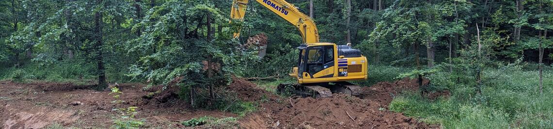
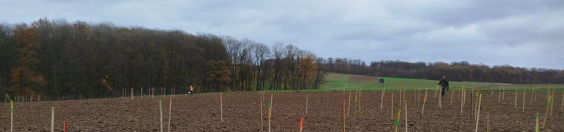
The Main Valley Project (MainPro) is a project funded by the Free State of Bavaria from the European Regional Development Fund (ERDF), which will develop ecosystem-based solutions for identified hazard scenarios in the Franconian Main Valley in the period 2023 - 2027. The main objective is to reduce risks to people and the environment by developing and implementing green infrastructures. Building on practical concepts, a sound basis for future planning decisions will be created in order to sustainably optimise the resilience of the natural and cultural landscape.
Within this framework, the social geography sub-project is dedicated to identifying climate change-related vulnerabilities of settlement and infrastructure areas. The aim is the conceptual optimisation of resilience-enhancing measures from a land-use planning perspective, with a focus on fluvial (flooding) and pluvial (heavy rainfall) risks.
Key research questions
- Which settlement and infrastructure areas exhibit increased vulnerability to pluvial and fluvial risks?
- To what extent are these risks already taken into account in current informal and formal urban land-use planning?
- How can selected municipalities optimise their planning instruments in order to sustainably strengthen resilience?
- What role do local communities, administrations and businesses play in the adaptation process?
Study area
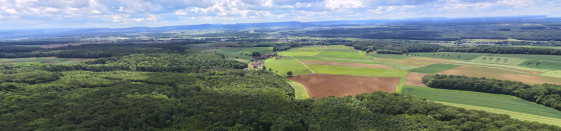
The study area comprises the Lower Franconian Main Valley between Lohr am Main and Haßfurt with a total of 84 municipalities. The independent cities of Würzburg and Schweinfurt are not included due to their administrative complexity. Over the course of the project, the area will be successively tailored to the most relevant spatial units in terms of research.
Project status & schedule
✓
WP 1
Completed
✓
WP 2
Done
WP 3
Active
WP 4.1
Workshop
23/09/2026
WP 4.2
Preparation
WP 6
Open
Detailed work packages (WP)
- WP 1: Recording the planning basis
Inspection and digital processing of the land use and development plans for the entire study area. - WP 2: GIS-based risk analysis & data integration
Intersection of the urban land-use plans with official hazard data and internal project modelling. To assess social vulnerability, socio-demographic data (census) is also integrated in order to identify particularly sensitive settlement areas. - WP 3: Empirical survey
Conducting approx. 35 guided interviews with stakeholders from politics, planning and specific administrative stakeholders (e.g. specialist offices) to collect qualitative information (active phase since February 2026). - WP 4.1: Participatory networking & regional workshop
Creation of practical case studies based on the previous research results. Organisation and implementation of a workshop in the study area on 23 September 2026, involving decision-makers, local stakeholders and interest groups as well as sections of the population. - WP 4.2: Specialist workshop & scientific reflection
Systematic processing of the workshop results and their critical discussion as part of a specialist workshop to categorise them in terms of a holistic view. - WP 5: Derivation of recommendations for action
Synthesis and processing of all research results to derive concrete recommendations for action for strategic municipal planning practice in the study area.
General project overview
Funded by: Free State of Bavaria, Bavarian State Ministry of Science and the Arts; ERDF
Duration: 05/2023 - 09/2027
Project management: Prof. Dr Birgit Terhorst (Institute of Geography and Geology)
Sub-project management: Prof. Dr Jörg Müller; Prof. Dr Jürgen Rauh; Prof. Dr Hannes Taubenböck; Prof. Dr Tobias Ullmann
Contact persons and deputies:
- Prof. Dr. Jürgen Rauh (Subproject management)
- Tobias Riemann (Project staff)
- Dr. Marcus Werner (representative)
- Nils Karges (representative)